
Monday, June 30, will bring hot and humid conditions, with temperatures climbing into the upper 80s and low 90s, according to the National Weather Service. Showers and scattered thunderstorms are likely to form by the evening across much of the area.
The main weather system arrives Tuesday, July 1, as a strong front moves in from the west. Thunderstorms are expected to develop early in the afternoon and sweep eastward through the region into the evening.
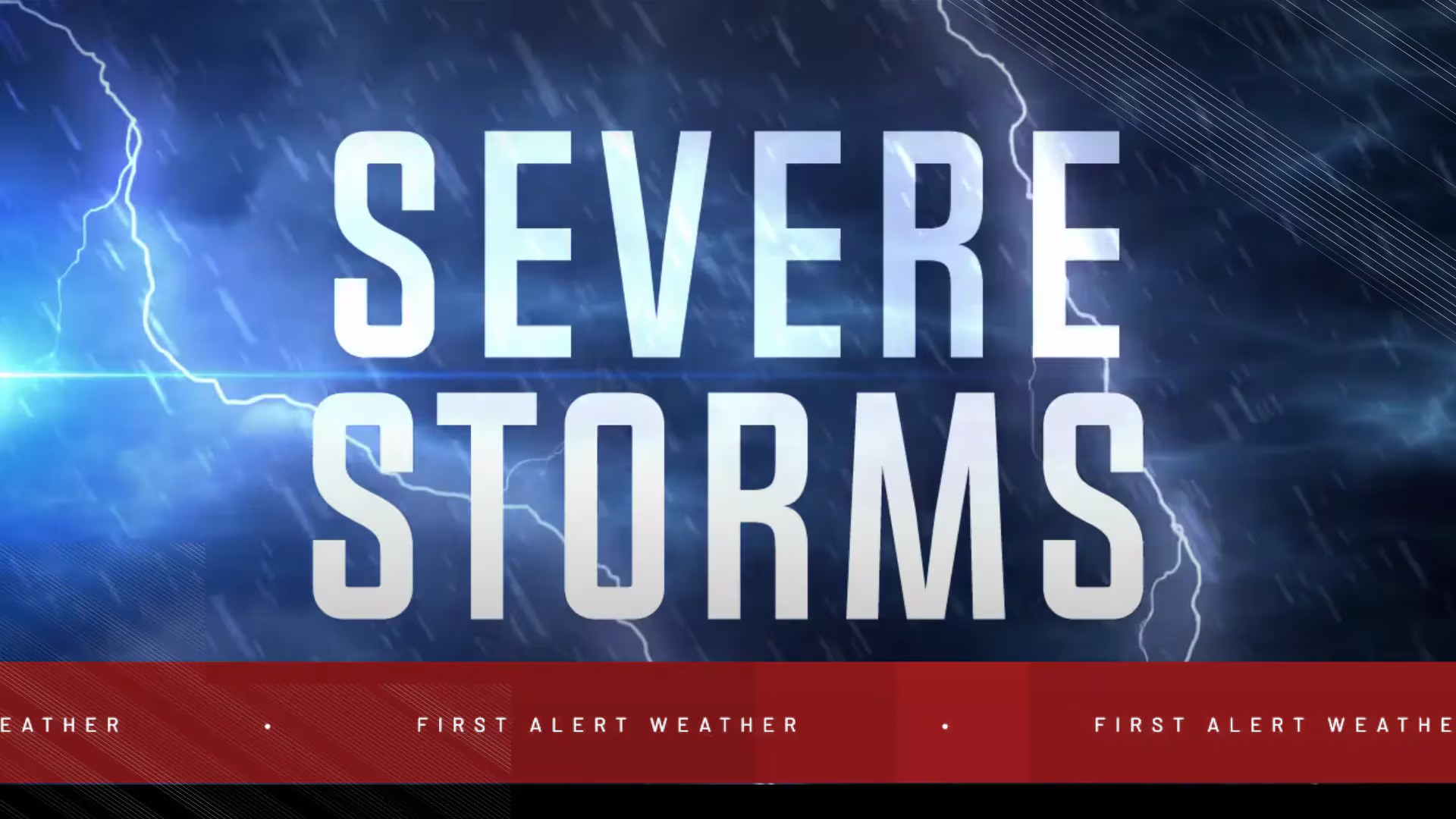
Some areas could see wind gusts over 60 miles per hour.
“Flooding downpours, hail and damaging wind gusts will be the primary threats in any severe thunderstorm that erupts,” according to AccuWeather meteorologist Peyton Simmers. “These thunderstorms can slow down the evening commute along parts of the I-95 corridor including in New York City, Philadelphia and Washington, DC.”
Forecasters say the greatest risks will be focused in areas marked in orange on the AccuWeather map, with the most intense storms likely forming along a corridor from southeastern Pennsylvania to northeastern Virginia.
By late Tuesday night, conditions should begin to settle. As the front moves out, drier air will usher in a period of calmer weather.
Wednesday, July 2, and Thursday, July 3, are expected to be mostly sunny with temperatures near seasonal averages.
The outlook for Independence Day on Friday, July 4 calls for mainly sunny skies and seasonable temps.


Leave a Reply