
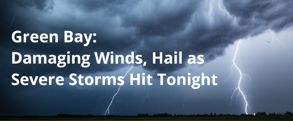
Severe thunderstorms carrying the potential for damaging winds and large hail are forecast to sweep across northwest and north-central Wisconsin this Tuesday afternoon and evening. Residents from Ashland to Green Bay are advised to prepare for hazardous conditions between 3 p.m. and 9 p.m.
According to the U.S. National Weather Service in Green Bay, a broken line of strong to severe storms is expected to develop first in northwest Wisconsin. This system will then track southeastward through the evening hours, bringing powerful gusts and heavy rain across the region.
Meteorologists warn that the most significant risks for damaging winds, potentially gusting up to 60 mph, and quarter-sized hail will be concentrated in north-central communities. Wausau, Rhinelander, and Antigo are identified as areas facing the highest threat before storms are expected to weaken as they push farther south and east.
The severe weather could significantly impact travel, particularly during the evening commute, with hazardous conditions anticipated on Highways 51, 8, and 29. Potential disruptions include downed branches, isolated power outages, and localized flash flooding, especially in areas hit by the strongest storm cells.
Residents in Marathon, Vilas, and Oneida counties are strongly urged to take precautions. This includes staying indoors if severe weather warnings are issued, securing all outdoor items that could become projectiles, and avoiding unnecessary travel during the storm. Authorities also advise keeping mobile devices and other essential electronics charged in anticipation of potential power interruptions.
This marks the first widespread severe storm event for the region this July, echoing similar mid-summer outbreaks experienced in 2019 and 2021. While most of Wisconsin is expected to see storms exit by late evening, warnings remain in effect for north-central Wisconsin through Tuesday night, and additional advisories may follow if new threats emerge.


Leave a Reply