


Winter Weather Advisory
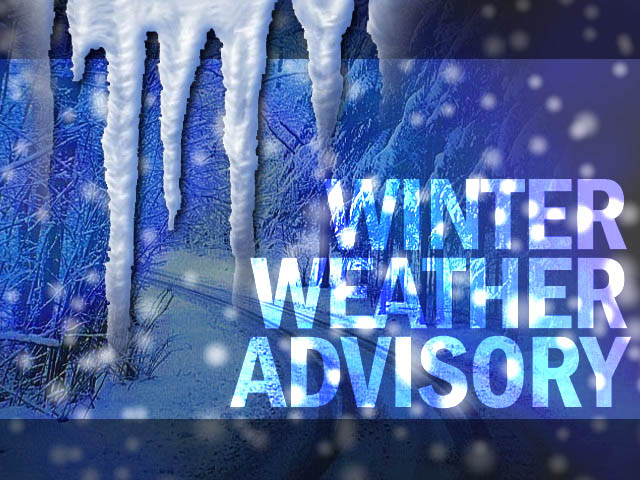
Winter Weather Advisory
URGENT - WINTER WEATHER MESSAGE
National Weather Service Albany NY
313 AM EST Wed Feb 7 2018

CTZ001-013-MAZ025-NYZ059>061-064>066-072200-
/O.CON.KALY.WW.Y.0014.180207T1200Z-180208T0900Z/
Northern Litchfield-Southern Litchfield-Southern Berkshire-
Eastern Greene-Western Columbia-Eastern Columbia-Eastern Ulster-
Western Dutchess-Eastern Dutchess-
Including the cities of Torrington, Oakville, Gaylordsville,
New Milford, Terryville, Thomaston, Sandisfield,
Great Barrington, South Egremont, Catskill, Coxsackie, Athens,
Cairo, Jefferson Heights, Hudson, New Lebanon, Kingston,
New Paltz, Poughkeepsie, Beacon, Arlington, Pawling, Wingdale,
Dover Plains, Millbrook, Stanfordville, Pine Plains, and Amenia
313 AM EST Wed Feb 7 2018

...WINTER WEATHER ADVISORY REMAINS IN EFFECT FROM 7 AM THIS
MORNING TO 4 AM EST THURSDAY...

* WHAT...Mixed precipitation expected. Total snow and sleet
  accumulations of 3 to 6 inches, and ice accumulations of up to a
  tenth of an inch are expected.

* WHERE...Northwestern Connecticut, central and
  southern Taconics, mid-Hudson Valley and southern Berkshires.

* WHEN...From 7 AM this morning to 4 AM EST Thursday.

* ADDITIONAL DETAILS...The wintry precipitation will result in
  difficult travel conditions, including during the evening
  commute. Be prepared for reduced visibilities at times. Snowfall
  rates of half inch to an inch per hour are expected during the
  late morning before snow mixes with sleet and freezing rain in
  the afternoon and evening.

PRECAUTIONARY/PREPAREDNESS ACTIONS...

A Winter Weather Advisory means that periods of snow, sleet or
freezing rain will cause travel difficulties. Be prepared for
slippery roads and limited visibilities, and use caution while
driving.

&&

$$
Special Weather Statement
Special Weather Statement
National Weather Service Albany NY
928 AM EST Wed Feb 7 2018

CTZ001-013-MAZ001-025-NYZ058>061-063>066-071700-
Northern Litchfield-Southern Litchfield-Northern Berkshire-
Southern Berkshire-Western Greene-Eastern Greene-Western Columbia-
Eastern Columbia-Western Ulster-Eastern Ulster-Western Dutchess-
Eastern Dutchess-
Including the cities of Torrington, Oakville, Gaylordsville,
New Milford, Terryville, Thomaston, Dalton, Hancock, Pittsfield,
Florida, North Adams, Sandisfield, Great Barrington,
South Egremont, Hunter, Tannersville, Windham, Prattsville,
Catskill, Coxsackie, Athens, Cairo, Jefferson Heights, Hudson,
New Lebanon, Ellenville, Woodstock, West Hurley, West Shokan,
Kerhonkson, Napanoch, Sundown, Kingston, New Paltz, Poughkeepsie,
Beacon, Arlington, Pawling, Wingdale, Dover Plains, Millbrook,
Stanfordville, Pine Plains, and Amenia
928 AM EST Wed Feb 7 2018

...Snow Will Quickly Increase in Intensity This Morning...

Snowfall has begun across the eastern Catskills and mid-Hudson
Valley and is quickly expanding east and northeast into the
Berkshires and northwestern Connecticut.

Once snow begins, visibility will be reduced to under one mile.
All surfaces will quickly become snow covered and snowfall rates
may be reach around one inch per hour by the late morning hours.

Travel will be hazardous across the region this morning. If you
must travel, be prepared for severe winter conditions and allow
extra time to reach your destination.

$$

Frugis
Hazardous Weather Outlook
Hazardous Weather Outlook
National Weather Service Albany NY
328 AM EST Wed Feb 7 2018

CTZ001-013-MAZ025-NYZ059>061-064>066-081200-
Northern Litchfield-Southern Litchfield-Southern Berkshire-
Eastern Greene-Western Columbia-Eastern Columbia-Eastern Ulster-
Western Dutchess-Eastern Dutchess-
328 AM EST Wed Feb 7 2018

...WINTER WEATHER ADVISORY IN EFFECT FROM 7 AM THIS MORNING TO 4 AM
EST THURSDAY...

This Hazardous Weather Outlook is for northwestern
Connecticut, southern Berkshires in western Massachusetts, and the
central and southern Taconics and mid Hudson Valley of eastern New
York.

.DAY ONE...Today and Tonight.

Please listen to NOAA Weather Radio or go to weather.gov on the
Internet for more information about the following hazards.

   Winter Weather Advisory.

.DAYS TWO THROUGH SEVEN...Thursday through Tuesday.

A wintry mix, including some freezing rain, is possible Saturday
night, especially across higher elevations of the southern Berkshires
and Litchfield Hills. If this potential increases, then a Winter
Weather Advisory would be issued later in time.

.SPOTTER INFORMATION STATEMENT...

Spotters are encouraged to report snowfall and or ice amounts to the
National Weather Service.

$$