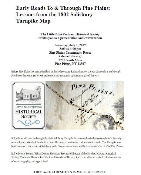
“Early Roads To and Through Pine Plains: Lessons from the 1802 Salisbury Turnpike Map”.
July 1, 2017 from 3 – 4 pm at the Pine Plains Community Room (above the Library), 7775 South Main, Pine Plains, NY 12567.
Bill Jeffway will take us through the 1802 Salisbury Turnpike Map using detailed photographs of this newly-restored map published for the first time. The map is two few feet tall and six feet wide. The Turnpike was built to connect the mines at Salisbury to the Susquehanna River and helped create a “center” of Pine Plains. Bill is Town of Milan Deputy Historian, Executive Director of the Dutchess County Historical Society, Trustee of Historic Red Hook and founder of History Speaks, an effort to make local history more relevant, engaging, and appreciated.
Sponsored by the Little Nine Partners Historical Society. Free. Refreshments will be served.

