Winter won’t quit: Snow, ice to threaten parts of northeastern US by Friday
As a storm runs into the warm-cool air battleground in place across the northeastern United States, areas of wintry and wet weather will occur by week’s end.
“A storm will bring a brief return to winter for some parts of the Northeast and also some beneficial rain for many during Thursday night and Friday,” AccuWeather Meteorologist Steve D. Travis said.
The zone of chilly air and subsequent wintry weather will generally be north and east of Interstate 81 and I-84 where temperatures will be held in the 30s and 40s F through the week. South and west of this corridor, temperatures in the 50s and 60s will be more common which will keep any precipitation in the form of rain.
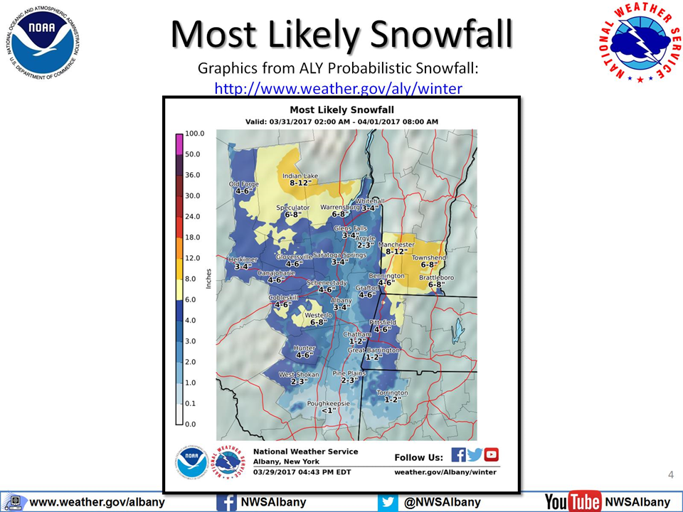
“Where colder air is in place across New England, the Adirondacks and the Catskills, there will be a period of accumulating snow or a wintry mix,” Travis said.

Travis anticipates few issues with slippery travel on Friday due to the strong March sun keeping most blacktop surfaces above freezing. Elevated and grassy surfaces will be most susceptible to accumulation.
“However, where snow or a wintry mix occurs during the night, there could be some slushy and snow-covered roads,” Travis said.
As the storm strengthens off the New England coast, a steady snow can develop across portions of western Massachusetts, Vermont, New Hampshire and central and southern Maine on Friday night into Saturday. Snowfall could be heavy enough to shovel and plow in these areas.

Boston could pick up a slushy few inches of snow by Saturday morning, potentially leading to slick spots on roadways.
Portland and Bangor, Maine; Concord and Portsmouth, New Hampshire; Pittsfield, Massachusetts; and Burlington, Vermont, could pick up enough snow to shovel and plow.
Residents and travelers along the corridor from Washington, D.C., to New York City will face occasional downpours, times of slow travel and pooling of water on roadways as opposed to any wintry weather.


